The map below shows the area around Kalambaka, Greece, including the famous Meteora monasteries shown in our Map of Meteora Monasteries.
Click on each map icon for more information.
Kalambaka Travel Toolbox
Shown on the map above is the Pinios river to the west, the triangular Kalambaka, and the area called Meteora, where monasteries "hover in air."
On this map you can see the type of rock outcrops that exist between the Greek towns of Kalambaka and Kastraki that were so enticing to hermit monks looking for a serene and monastic life.
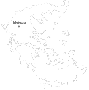
To the left you'll find the location of Kalambaka within Greece.
For an interactive map explaining the monateries and information on visiting, see our Meteora Monasteries Map.
Weather and Climate
Nafplion has weather much like Athens--without the summer smog. It's hot and dry in the summer, with a rainy season that runs from October to March. Below is the forecast for the next week.
KALAMBAKA WEATHERGetting from Kalambaka to the Meteora Monasteries
In summer, get an early start if you plan on walking to Meteora.
There is a bus from Kalambaka to the meteora monasteries. Timetables are here.
There is a train station in Kalambaka. You can access Kalambaka from Athens, Thessaloniki, Igoumenitsa by either bus or train.